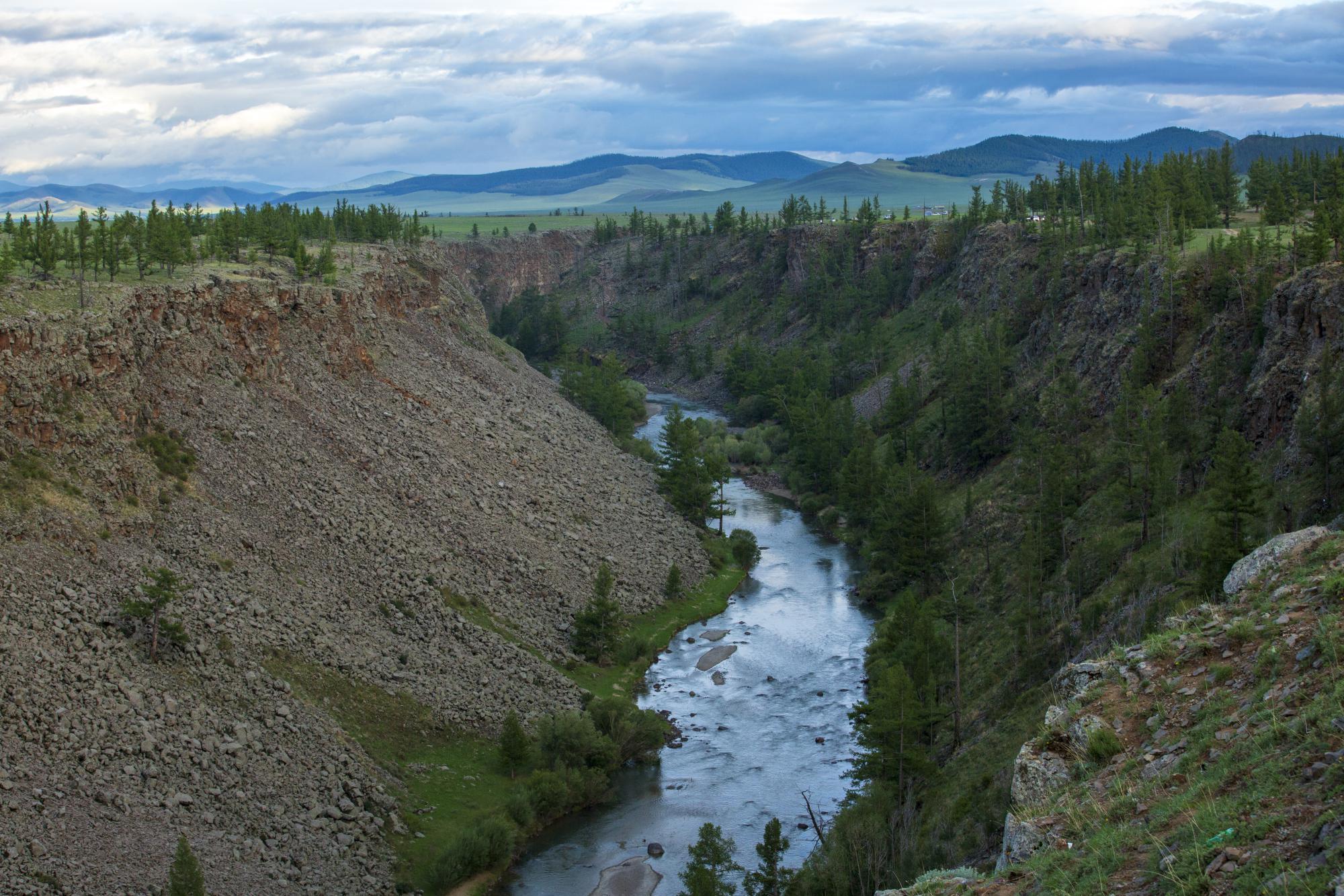
Chuluut River
Arkhangai province, Chuluut soum
Overview
Welcome to the majestic Chuluut River in Tariat, Undur-Ulaan sum area of Arkhangai province, boasting a length of 415 kilometers. Flowing from the highest part of the Khangai mountain range, this high-flowing mountain river is a sight to behold. Originating from the Egi Pass in the Khangai Mountains, the Chuluut River winds its way north for 415 kilometers and merges with the Ider and Delger Rivers to become the Selenge River.
The Chuluut River is famous for its 100-kilometer-long, 20-meter-deep steep stone canyon, which runs from the headwaters of the Teel River to the Atsat River. The canyon is formed from Khurmen stone, which is magma that spewed from the nearby Khorgo volcano. About 10 million years ago, an underground explosion in the Tariat volcanic area caused the formation of a 15km by 24km area of chert and crust, which is 100-120m thick, and 40-60m thick (total 140-200m) about 3 million years ago.
Hot magma flowed out from a depth of several tens of kilometers through the cracks of starch, around 500 thousand years ago, forming a canyon that is 4 kilometers wide, 90 meters deep, and 50 kilometers long. This awe-inspiring sight is a must-see for any nature lover or adventurer.


